Hike These Trails to Catch the Solar Eclipse
A total solar eclipse is a spectacular thing to witness, couple that with experiencing it on a hiking trail and you’ve got yourself an adventure to remember! We’ve rounded up seven trails to explore that are in the eclipse path.

Before we dive into the list, with all of the excitement of heading out to the trail for the eclipse, be sure to keep your safety, the safety of others, and the preservation of the trail you’re hiking in mind.
Remember to pack the 10 Essentials — and a few extra essentials for this particular outing, like handheld solar viewers and/or solar eclipse glasses to protect your eyes! Be mindful of your impact on the trail (leave it better than you found it!); avoid wandering off the trail for a better or different viewpoint, and if you’re bringing your furry friend along, be sure to clean up after them.
Now, on to the trails…
1. Ann and Roy Butler Hike-and-Bike Trail: Austin, TX
- Length: 10miles
- Difficulty: Easy
- Trail Map & More Information
- Activities/Features:
- Bike
- Inline Skating
- Fishing
- WheelchairAccessible
2. Juniper Canyon Trail: Big Bend National Park, TX
- Length: 13 miles
- Difficulty: Hard
- Trail Map
- Warning: AllTrails notes that “this is a fairly washed-out and not marked trail that requires intense navigational skills. The route features a steep climb up to the saddle with many switchbacks along the way.”
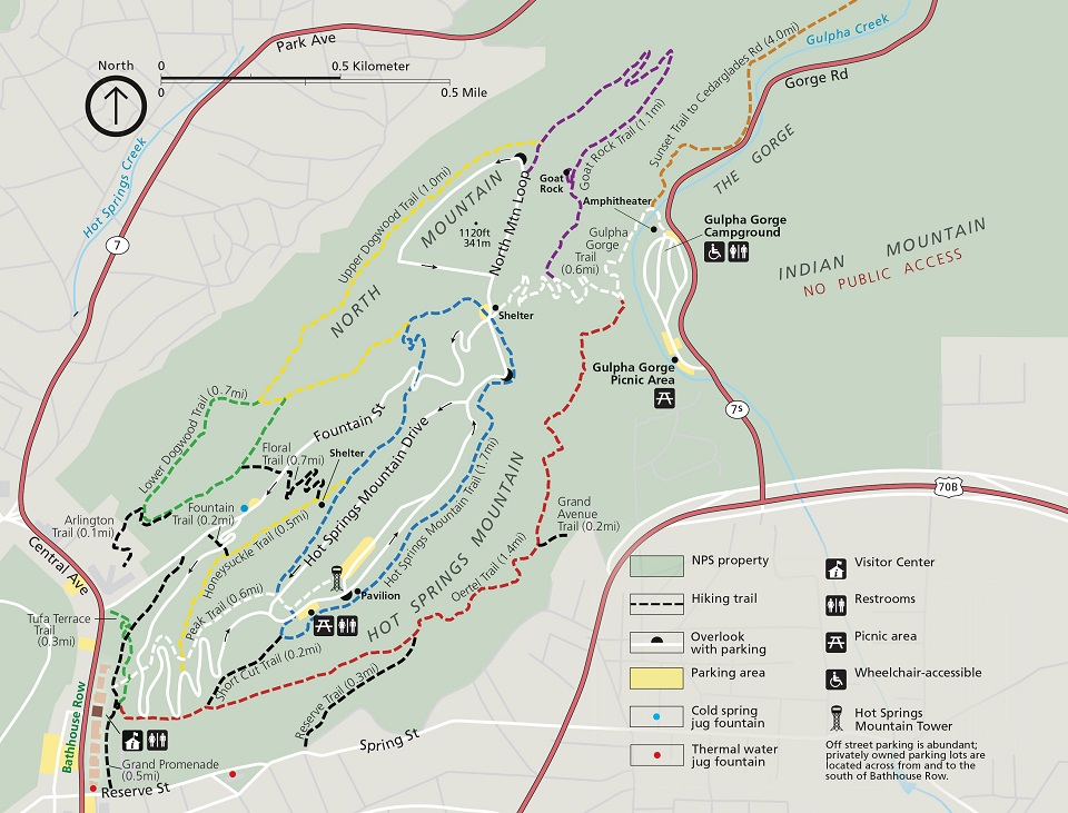
3. Peak Trail into Hot Springs Mountain Trail: Hot Springs National Park, AK
- Length: 3 miles
- Difficulty: Moderate
- Trail Map
- Activities/Features:
- Hiking
- Dogs permitted
- Partially paved
*Note: Hot Springs National Park is one of two National Parks that are in the path of totality! For more information on the Solar Eclipse at Hot Springs National Park, click here.
4. Edgewater Beach Trail: Cleveland, OH
- Length: 1.4 miles
- Difficulty: Easy
- Trail Map & More Information
- Activities/Features
- Fishing
- Hiking
- Running
- Walking
- Paddle sports
- Dog friendly
- Kid friendly
5. Fuhrmann Greenway Nature Trail: Buffalo, NY
- Length: 5.0 miles
- Difficulty: Easy
- AllTrails notes, “The majority of the trail is estimated to be in the gentle grade category (3% or less). This trail will likely be navigable for most wheelchairs/mobility equipment or stroller users. There are benches and picnic tables along the route for resting.”
- Trail Map & More information
6. Island Line Trail, Burlington, VT
- Length: 13.4 miles (one way)
- Difficulty: Easy
- Trail Map
Trail notes:
According to Trail Finder, this is a multi-use trail with waterfront views of Lake Champlain from Burlington to Colchester and numerous parks and natural areas along the way, a trail bridge over the mouth of the Winooski River, and Colchester’s Causeway Park.
According to AllTrails, There are 3 designated accessible spaces in the paved parking lot off of College Street at the southeast end of the trail. All of them are van-accessible with striped access aisles. The trail surface is partially paved (asphalt, cement, wooden boardwalk and bridges with railings) or partially gravel, and is typically at least 5 feet wide.
7. Hike Cadillac South Ridge Trail, Acadia, ME
- Length: 7.1 miles
- Difficulty: Moderate-Hard
- Trail Map & More Information
Trail notes:
NPS share Terrain and Safety notes for this trail: Forested path, granite ridgeline, one iron rung. The trail is rocky with uneven footing. Good foot wear is recommended.