Loading Trips

« All Trips

  • This trip has passed.

Coronado National Forest, Arizona National Scenic Trail

March 24, 2019 - March 30, 2019

Trip Navigation
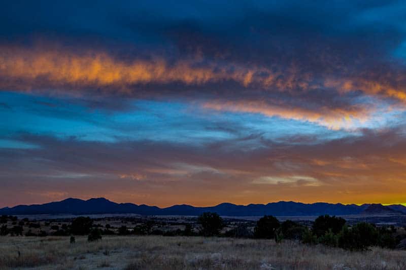
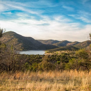
The Arizona National Scenic trail travels 800 miles across the state of Arizona between the Mexican border and Utah. It highlights the diversity of wild landscapes in Arizona from the iconic Sonoran desert to deep ponderosa forests. This project is taking place on the Coronado National Forest, in the Canelo Hills of southern Arizona. The Canelo Hills West passage of the trail is the second passage north of the border and crosses low, grassy hills between the Huachuca and Santa Rita Mountains from Parker Canyon Lake to Canelo Pass. Our project involves constructing new trail to replace legacy trail and forest roads that have been in this area for decades. One of the Arizona Trail Association’s main goals in recent years has been to get the trail off of old roads and two track wherever possible, and (pending clearances) this area holds a great opportunity to move on that goal. Tasks include clearing vegetation, benching and digging trail tread, small rock work projects and removing debris. The hike to and from the worksite will be between 3 and 5 miles each day over rolling hills.

Register
Host

Arizona Trail Association

Accommodations

Primitive Tent Sites

Hiking/Access

Day hiking up to 5 miles each day

Project Rating

Difficult

Minimum Volunteer Age

18

Maximum Group Size

15

Area and Attractions

The Canelo Hills are a series of low, rolling hills and sweeping grasslands studded with evergreen oak, pinion pine and alligator juniper. Nestled between 9000’ ‘Sky Island’ mountain ranges, the Canelo Hills are famed for their biodiversity, scenic beauty, and rich history. Always in view are the Huachuca and Santa Rita Mountains, and from high points you can catch a glimpse across the San Rafael Valley - a stunning example of high intermontane grass valley and the headwaters of the Santa Cruz River. Javelina, mule deer, and coyote are common here, and lucky visitors may catch sight of antelope, bobcats, or even cougar. This part of southern Arizona is considered a birder’s paradise - the Nature Conservancy’s nearby Patagonia-Sonoita Creek Preserve is full and part time home to more than 300 species of birds. Within a quick day’s drive, we have the rich history of former mining communities like Bisbee and Tombstone. The town of Sonoita is the heart of southern Arizona’s wine country and Patagonia is a growing artist community. The Coronado National Monument is the southern terminus of the AZT and is only a short and scenic drive. If you're into fishing, there are small mouth bass, rainbow trout and catfish to be taken from Parker Canyon Lake. The Arizona Trail, of course, is a highlight - with opportunities to climb the Huachuca Mountains to the 9,100’ crest and catch views that stretch far into Mexico or ramble across the hills to historic mining camps and hidden canyons. With the proximity of Tucson, we may even find some willing volunteer guides for various hikes in the region.

Accommodations Description

We will be camped at a primitive (dispersed) camping area, with vault toilet, and shower access at the end of the week. The Arizona Trail Association will provide food and all cooking gear. The ATA prides itself on offering top quality camp meals. Accommodations may be primitive, but the hospitality never should be! You'll work up an appetite, and we'll reward it. Volunteers should bring their own tent, sleeping bag/sleeping pad, cup/bowl/mug/eating utensils, and personal gear.

Travel

Airport pickup provided from Tucson International Airport. Airport pickup and dropoff times will be sent to registrants when the trip is confirmed.

Location

Coronado National Forest, Arizona National Scenic Trail
3252 Hwy 82, Sonoita, AZ 85637 United States