Loading Trips

« All Trips

Breathtaking Ruggedness, Big Timber and Wilderness Camping in the Beautiful Sierra-Nevada, CA (Backpacking)

July 27, 2025 @ 5:00 pm - August 2, 2025 @ 8:00 am

Trip Navigation
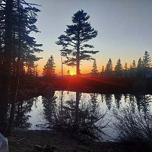
Experience the Sierra-Nevada Wilderness like never before! Located between Lake Tahoe and Sacramento, Mokelumne Wilderness is a rugged landscape of great scenic beauty.

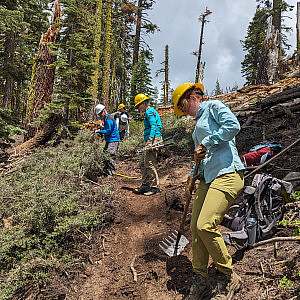
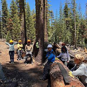
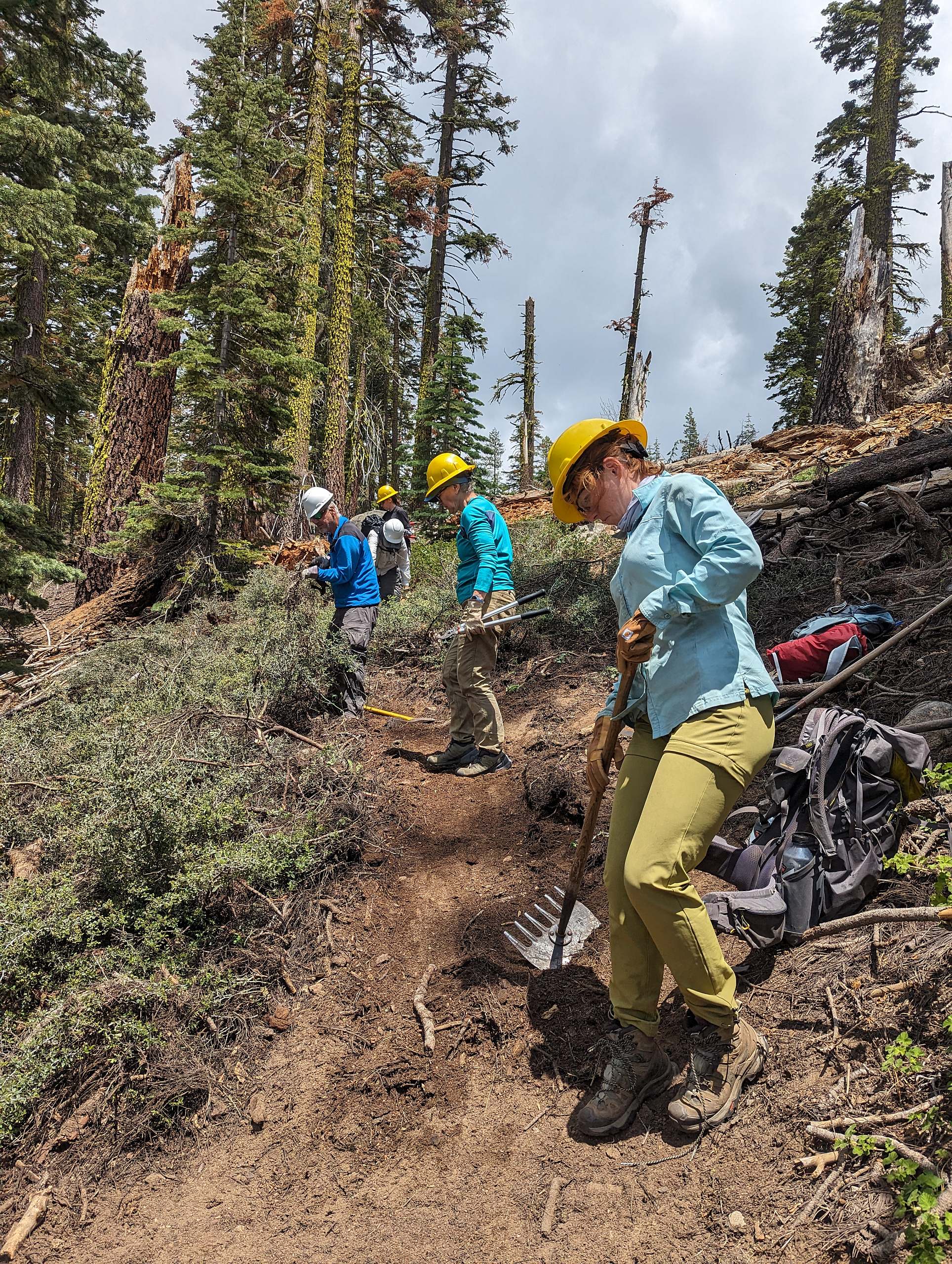
Volunteers will help repair the avalanche damaged Camp Irene Trail in a high elevation glacial canyon! During a heavy winter a large avalanche severely damaged a 1/2 mile section of this trail making it extremely difficult for visitors to navigate. This project will be vital for restoring and re-routing the damaged trail and will involve rock work, cross cut saws and tread building.

In your free time, there is a trout filled stream nearby as well as access to beautiful lakes and peaks. It is a very scenic area in the heart of the Mokelumne Wilderness.

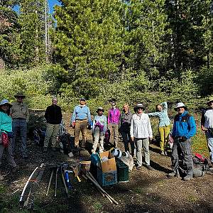
There is no experience needed to join a Volunteer Vacation! Your expert hosts will provide detailed instruction, tool demonstrations, and project oversight throughout the week. All you need is a willing attitude and to be in good physical condition to participate in moderate physical activity for approximately 6-8 hours a day with plenty of breaks, at your own pace. Find out more about what it’s like to join a Volunteer Vacation and other frequently asked questions here.

Register
Host

Private: Amador Ranger District

Accommodations

Primitive Tent Sites

Hiking/Access

Volunteers will backpack downhill approx. 3.5 miles with a loss of around 1000 feet to basecamp. Volunteers will need to carry their personal gear and a portion of the food/tools/cooking gear to base camp.

Project Rating

Strenuous

Minimum Volunteer Age

16

Maximum Group Size

12

Area and Attractions

Much of the wilderness area is dominated by volcanic ridges and peaks. The prominent feature is arguably the rugged Mokelumne River Canyon. There are many smaller streams flowing through deep granitic canyons but only a few lakes concentrated in the northern portion of this spectacular area. Elevations range from about 3900 feet near Salt Springs Reservoir to 10,380 feet at Round Top. Precipitation averages 50 inches annually on the west slope and as little as 15 inches on the east slope, 80 percent of it in the form of snow. Snowcaps typically linger into June in the Round Top region to the north and on the Mokelumne Plateau to the south, while the Mokelumne River Canyon above Salt Springs Reservoir can be free of snow as early as March. Summers are generally dry and mild, but afternoon thundershowers occur periodically and nighttime temperatures may dip below freezing any time.

Accommodations Description

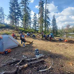
Volunteers will camp at the Upper Blue Lakes Campground near the Pacific Crest Trail the first night, then backpack into basecamp in a remote, wilderness setting with no amenities for the duration of the project. Volunteers need to bring their own tent and personal camping gear; sheets, bedding or sleeping bag; towels; and personal cup, bowl, mug, and eating utensils. Volunteers will need to carry their personal gear and a portion of the food/tools/cooking gear to base camp.

Travel

Sacramento International Airport in Sacramento, California is the closest airport. Airport pickup is not provided but carpooling can be arranged upon confirmation of the trip.

Location

Eldorado National Forest
30001 Plasse Rd, Pioneer, CA 95666 United States + Google Map